|
The Warren Water Striders is a group of volunteers that work with Warren SWCD staff to conserve and enjoy the waters of Warren County. Taking inspiration from the tiny bugs of the same name that can walk on water through surface tension and specially adapted legs, the Warren Water Striders also enjoy life on the water!
The river provides many benefits to the public, and so this group seeks to involve the public and raise awareness through kayaking and river cleanup events. In line with Warren SWCD's overall mission to promote wise stewardship of our natural resources, the Warren Water Striders' mission is specifically to promote wise stewardship of Warren County’s rivers and lakes through conservation and recreation, while involving the public to raise awareness on the benefits rivers and lakes provide through kayaking and river cleanup events. Join the Warren Water Striders for different kayak programs and river cleanups throughout the year and help us keep the river clean! |
|
Do you enjoy paddling the Little Miami River? Check out our interactive map to find the best access points! This map highlights access points along the LMR, and provides information on if they are public or private, what parking and amenities are available, and provides photos of the site. Simply click on the button below and then click on the green dots of the map to learn about those access points. Click the stretch of river between points to learn distance and approximate float times from different points so you can plan your river trip!

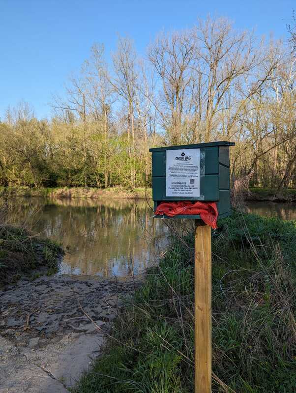
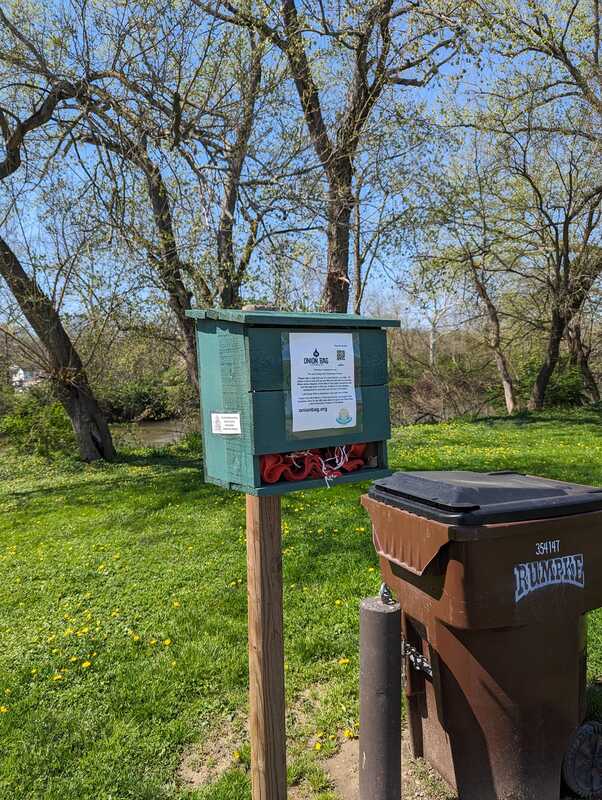
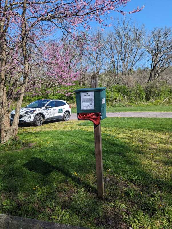
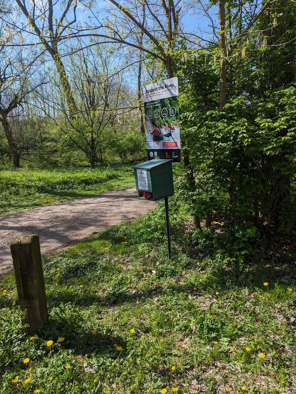
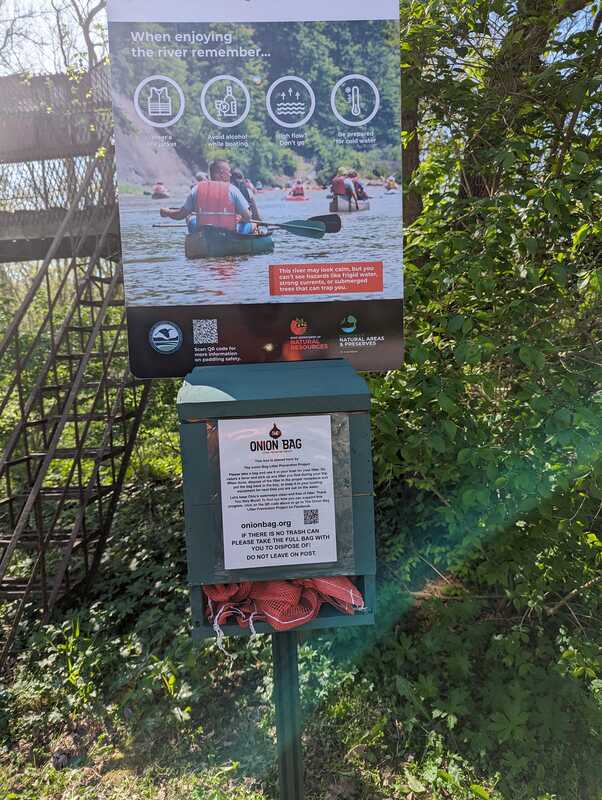
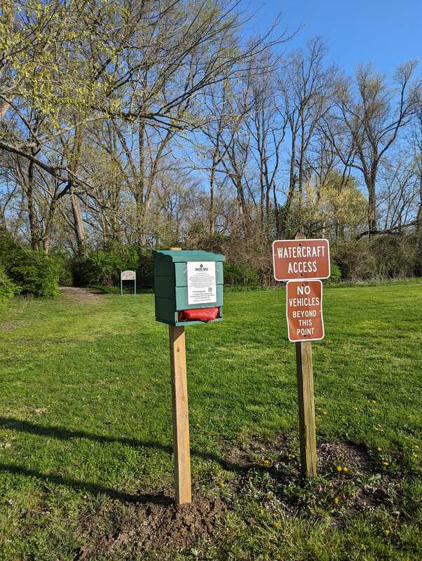
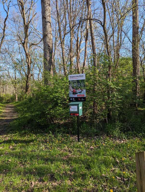
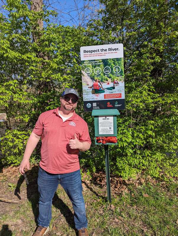
We have partnered with the Onion Bag Project to install boxes at public access points along the Little Miami River, so that we can all take part in conservation and recreation!